
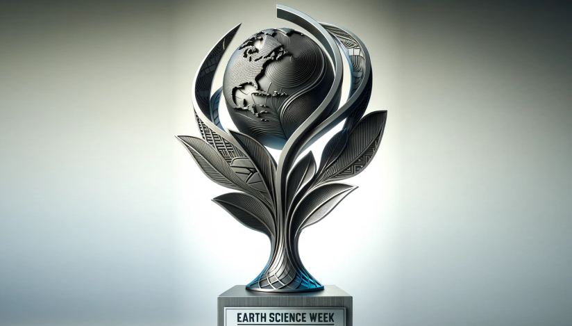

About Earth Science Week
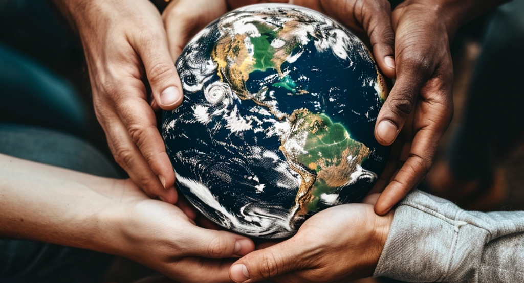
Earth Science Week is more than an event; it’s a global movement towards understanding and cherishing our planet. This initiative ignites curiosity and fosters appreciation for the Earth sciences. It brings to light the intricate connections between geoscience and our daily lives. With a plethora of educational activities, resources, and events, Earth Science Week is a vibrant call to action for individuals of every age and background. It’s an invitation to dive into the fascinating world of Earth’s processes, explore the bounty of natural resources, and discuss the pivotal role of geosciences in addressing critical societal challenges. This initiative doesn’t just educate; it inspires a lifelong passion for Earth science and instills a deep sense of stewardship for our planet and its future.
Every October, this enthusiasm comes alive as community groups, educators, and citizens around the globe host an array of celebratory events.
Explore the Highlights of Past Earth Science Weeks
Journey through the milestones and transformative moments from previous Earth Science Weeks. Relive the excitement, learning, and community spirit that define this remarkable celebration.
Hear from Our Sponsors
Our sponsors are the backbone of Earth Science Week. Hear their stories, understand their commitment, and learn how they’re making a difference in fostering a deeper connection with our planet.
The Minerals Education Coalition (MEC), SME Foundation, and Society for Mining, Metallurgy & Exploration (SME) provide minerals and mining activities for Earth Science Week each year, giving us a unique opportunity to reach out to thousands of teachers and students.
AGI Earth Science Week helps the American Meteorological Society highlight the Certified AMS Teacher Program and weather, ocean, and climate science PD courses. Learn more here. ESW is a great avenue for connecting with teachers across the country!
AGU proudly supports Earth Science Week because science is for everyone. Education and outreach are fundamental to promoting not only a sense of awe and wonder for our planet but also a sustainable future supported by scientific discovery, innovation, and action.