Earth Science Week Classroom Activities
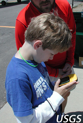
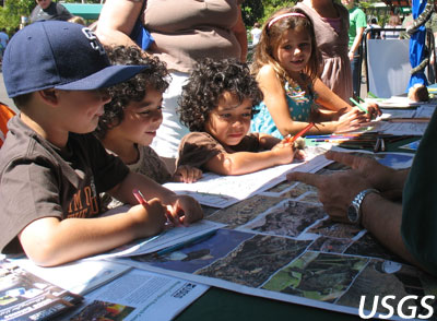
Be a Citizen Scientist!
The USGS sponsors or has partnerships with many citizen science programs that
are appropriate for classroom
projects, for individual students, or for interested citizens.
USGS
Hazards
Did You Feel It?
People who experience an earthquake are encouraged to go online and share
information about its effects to help create a map of shaking intensities and
damage. These “Community Internet Intensity Maps” contribute greatly toward
the quick assessment of the scope of an earthquake emergency and provide
valuable data for earthquake research.
https://earthquake.usgs.gov/data/dyfi/
Did the Coast Change?
Identify changes to the nation’scoasts by using USGS iCoast. Citizen
scientists can view before-and-after aerial photos of coastal regions to
observe and compare changes from intense storms and hurricanes. By tagging
changes in photographs, citizen scientists will learn to recognize coastal
erosion while helping USGS scientists identify the most vulnerable areas and
improve modeling erosion processes.
https://coastal.er.usgs.gov/icoast/
Flood Inundation Mapper
Citizen scientists can monitor the status of local rivers, streams, and creeks
with the USGS Flood Inundation Mapper. This tool combines resources from USGS
stream flow conditions and National Weather Service flood warning forecasts to
display the potential of flooding in a region. Citizen scientists can use
real-time data to learn about local flood risk and how a hazard is effecting
the country.
https://water.usgs.gov/osw/flood_inundation/
https://water.usgs.gov/osw/flood_inundation/files/flood_inundation_map_user_guide_comp.pdf
Did You See It?
This website, developed by the USGS Landslide Hazards Program, asks anyone who
saw a landslide anywhere in the country to report their observations. These
observations will be used to build a more complete landslide database that will help scientists
gain a clearer picture of how landslides affect the entire U.S.
http://landslides.usgs.gov/dysi/
Plants
USA National Phenology Network
The USA-NPN brings together citizen scientists, government agencies, non-
profit groups, educators and students of all ages to monitor the impacts of
climate change on plants and animals in the U.S. Join and share your
observations on phenological events like leaf out, flowering, and migration
patterns with others across the county.
https://www.usanpn.org/
https://www.usanpn.org/nn
Invasive Plant Atlas of the MidSouth
This program trains volunteers to identify important invasive plant species, teaches how to use the on-line database to enter plant locations, and provides information on the management of these species. Data derived from volunteers will be combined with previous research and will aid in the production of
distribution maps for species of interest.
https://ipt.gbif.us/resource?r=ipams
https://www.gbif.org/dataset/d587c7e5-d442-437a-a6d7-d1a78ecf2300
Invasive Plant Atlas of New England
Assist a network of professionals and trained volunteers on creating a
comprehensive database of invasive and potentially invasive plants in New
England. The database will facilitate education and research that will lead to
a greater understanding of invasive plant ecology and support informed
conservation management.
Purple Loosestrife Volunteers
People living at many latitudes in North America, Eurasia, and Australia are
volunteering to help assess purple loosestrife (Lythrum salicaria) in their
regions. Purple loosestrife is native to Eurasia but invaded northern North
America after accidental introduction in the 1800s. Study results will help in
efforts to control and predict the future spread of this species.
http://www.nwrc.usgs.gov/special/purplel
https://www.usgs.gov/centers/wetland-and-aquatic-research-center
Birds, Amphibians and More!
The North American Breeding Bird Survey Join thousands of volunteers in the collection of data for this long-term, large scale, international avian monitoring program inititaed in 1966 to track the status and trends of North American bird populations. BBS data are collected by volunteers along randomly established roadside routes throughout the continent.
National Midwinter Bald Eagle Survey
Take part in this program which monitors the status of bald eagle wintering
populations in the contiguous U.S. by estimating national and regional count
trends. Volunteers count eagles along standard, non-overlapping survey routes,
which provides information on eagle trends, distribution, and habitat.
North American Amphibian Monitoring Program Volunteers with this program help monitor the distributions and abundance of frogs and toads. Data collected by citizen scientists contributes to the monitoring of amphibian populations, helps to update distribution maps, and increases our understanding of breeding phenology (when frogs call).
Wildlife Health Event Reporter
This web-based application is a place concerned citizens can go to report
sightings of sick or dead wildlife. This information is used by natural
resource managers, researchers, and
public health officials to protect the well-being of all living things and to
promote a healthy ecosystem.
Water
GLOBE Observer
GLOBE Observer is an international network of citizen scientists and
scientists working together to learn more about our shared environment and
changing climate. To participate, just download the GLOBE Observer app and
submit regular observations.
The GLOBE Observer Program currently accepts cloud observations with a planned expansion. The cloud observations help NASA scientists understand clouds from below (the ground) and above (from space). Clouds play an important role in transferring energy from the Sun to different parts of the Earth system. Since clouds can change rapidly, scientists need frequent observations from citizen scientists.
Since GLOBE Observer is part of the GLOBE program, citizen scientists are also providing data for student research, strengthening science education. Visit http://observer.globe.gov/ for more information
The Community Collaborative Rain, Hail and Snow network
The Community Collaborative Rain, Hail and Snow network provides an
opportunity for anyone (including classrooms) to install a rain gauge and
report their precipitation amounts to an on-line database. Your data can help
scientists on a local level such as water municipalities and mosquito control
experts, but also more broadly such as USGS scientists monitoring streamflow
conditions, the National Weather Service and even NASA!
Home page: https://www.cocorahs.org/
CoCoRaHS for Schools: https://www.cocorahs.org/Content.aspx?page=CoCoRaHS-Schools-gettingstarted
World Water Monitoring Challenge
This international education and outreach program builds public awareness and
involvement in protecting water resources around the world by engaging
citizens to conduct basic monitoring of their local waterbodies.
http://www.worldwatermonitoringday.org/
More Information
Volunteer.gov Visit America’s natural and cultural resources volunteer portal and search for volunteer opportunities that suit your interests and needs.
USGS
Want to Learn More?
If you have any questions about USGS science contact USGS Science Information Services at:
Phone: 1-888-ASK-USGS (1-888-275-8747)
E-mail form
FAQ’s
On Facebook
On Twitter: @USGS
Advancing the Participatory Sciences
(Originally the Citizen Science Association)
isit the website for more resources, connections with others involved in participatroy science, and best practices for getting involved in data collection.